Skip to content
CARACOL Honduras

CARACOL search

Search by CARACOL ID, property, agent, office or development

Lago de Yojoa

Outdoors in Lago de Yojoa

Trails, parks, viewpoints and beaches · 39 places

39 results

Outdoors

Nacimiento de Pulha

Park

16 km from downtown
Outdoors

Balneario El Cacao

Park

16 km from downtown
Outdoors

Balneario El Paraíso

Park

18 km from downtown
Outdoors

Cabo Cañaveral

Park

13 km from downtown
Outdoors

Canal Kayak/GUAZ-LÚ

Park

10 km from downtown
Outdoors

Luna del Puente Reserva Natural Privada

Nature reserve

12 km from downtown
Outdoors

Empi Park

Park

15 km from downtown
Outdoors

Los Naranjos lago de yojoa

Trail

10 km from downtown
Outdoors

Parque Arqueológico Los Naranjos - El Jaral

Park

8.8 km from downtown
Outdoors

Parque Las Vegas Santa Bárbara

Park

9.9 km from downtown
Outdoors

Canal Kayak Los Naranjos

Park

10 km from downtown
Outdoors

El Canal

Park

12 km from downtown
Outdoors

El Mirador Lago de Yojoa

Park

6.3 km from downtown
Outdoors

Isla Grande

Park

8.3 km from downtown
Outdoors

Lago de yojoa

Park

1.6 km from downtown
Outdoors

Lago de Yojoa

Park

320 m from downtown
Outdoors

Mirador Indios Desnudos

Viewpoint

12 km from downtown
Outdoors

Parque Central De Santa Elena

Park

6.3 km from downtown
Outdoors

Parque Central Peña Blanca

Park

12 km from downtown
Outdoors

Parque Central San Francisco de Yojoa

Park

16 km from downtown
Outdoors

Parque Nacional Cerro Azul Meámbar

Protected area

12 km from downtown
Outdoors

Parque Central de Las Vegas

Park

9.9 km from downtown
Outdoors

Área de Uso Múltiple Lago de Yojoa

Protected area

3.8 km from downtown
Outdoors

Cerro Las Nalgas

Peak

9.3 km from downtown

Credits

Business photos come from their official public sources: Google, Instagram, Facebook, other social networks and their websites. Credits belong to their authors; CARACOL does not claim authorship.

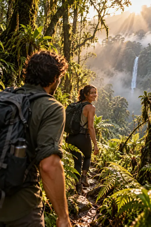
Section images and clips: illustrative, generated with AI.

Map: Protomaps © OpenStreetMap contributors. Places from OpenStreetMap (ODbL), downloaded September 28, 2026.

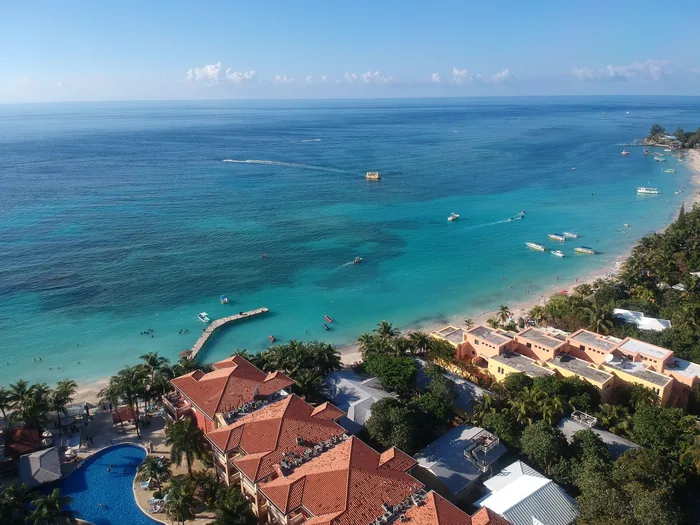
Roatán from the air: turquoise sea and shore

A clearer way to find your place.

Let’s discuss your next decision

Photo: Hugo Rodríguez · Pexels